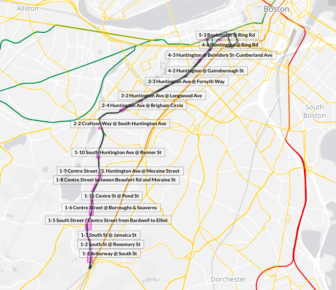

On Thursday, transportation officials broke down exactly how residents would get through Forest Hills during the next phase of the Casey Arborway project. Here are maps and explanations for pedestrians, bicyclists and drivers once lane closures begin on Saturday.
The inbound lane of the Casey (going toward the Pond) will be shunted to a temporary surface road on Saturday. Then the following Saturday the outbound lane (toward Morton Street) will get the same treatment. The basic patterns created then will largely stay in place for months as workers dismantle the crumbling overpass.
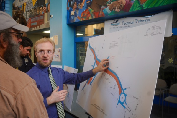
Officials handed out the maps below at a construction information meeting held at English High School.
Pedestrians

Walking on foot from South Street to Forest Hills Station will be less direct. Whereas pedestrians used to be able to cross New Washington Street mid-block coming out of the Southwest Corridor Park, now you’ll need to walk down to South and Arborway, cross South, then cross the two Arborway ramps and finally crossing back over South to reach the station. Once the project is done, there will be an Orange Line entrance on the Southwest Corridor Park side of New Washington.
Bicyclists

If you’re on a bike, you may have already noticed how dangerous the South Street/Arborway nexus has become as car drivers get used to the new patterns. Construction officials said new crossing lights have been installed there.
Drivers

Drivers will need to come to terms with not being able to make a left from the eastbound Arborway ramp to South Street. Transportation officials said drivers will either need to go all the way around the station via South Street/Washington Street/Ukraine Way/Hyde Park Avenue or change their whole route to instead take Centre Street at Murray Circle to reach South Street.